


A practical sailing guide to the Bermuda Triangle’s myths, real offshore risks, Bermuda’s anchorages and the island experience for large catamarans.
The Bermuda Triangle is one of the ocean’s most successful stories. It is not an officially defined sea area, and neither NOAA nor the United States Coast Guard considers it uniquely dangerous. Yet the legend grew from real losses, including USS Cyclops in 1918 and Flight 19 in 1945, then expanded through decades of sensational books and television. For sailors, the practical risks are less mysterious: the Gulf Stream, fast-changing weather, tropical systems, fatigue, traffic and Bermuda’s extensive coral reefs. A well-prepared offshore yacht should treat the passage with respect, not fear. Bermuda itself is a compelling landfall. St. George’s offers history and straightforward clearance. The Great Sound gives broad-beam catamarans room to anchor. Hamilton brings urban energy, while Castle Harbour offers greater seclusion. For a large Privilège catamaran, the key considerations are weather routing, daylight arrival, reliable communications, anchoring discipline and advance confirmation of marina beam limits.
The Triangle was created by storytelling, not cartography
The first fact is also the most important. The Bermuda Triangle is not an official place. It has no internationally accepted coordinates, no legal boundary and no special status on nautical charts. Its usual outline joins Miami, Bermuda and Puerto Rico, creating a vast section of the western North Atlantic.
The name entered popular culture in 1964. The American writer Vincent Gaddis used “The Deadly Bermuda Triangle” as the title of an article in Argosy, a pulp magazine. Charles Berlitz turned the idea into a global phenomenon with his 1974 bestseller, The Bermuda Triangle.
The formula was irresistible. It combined aviation, deep water, tropical weather and unexplained loss. It also benefited from selective storytelling. Incidents separated by decades were presented as parts of one pattern.
Official assessments are less dramatic. NOAA states that there is no evidence of mysterious disappearances occurring more frequently inside the supposed Triangle than in other large, heavily travelled ocean areas. The United States Coast Guard does not recognise it as a zone of special hazard and has found no extraordinary factor behind the casualties it reviewed.
Some losses remain unresolved because wreckage was never recovered. Deep water, rapid currents and limited historical records can leave permanent uncertainty. An unexplained loss is not evidence of a supernatural cause.
The disappearances that gave the myth its power
USS Cyclops remains one of the legend’s darkest episodes. The 165-metre (542-foot) United States Navy collier disappeared in March 1918 while sailing from Barbados towards Baltimore. The ship carried 306 crew members and passengers. No confirmed wreckage was found.
Later naval analysis considered the ship’s structural characteristics, its heavy manganese ore cargo, loading stresses and severe weather among the plausible explanations. The loss remains officially unresolved. That is not the same as inexplicable.
Flight 19 added aviation mystery to maritime folklore. On 5 December 1945, five TBM Avenger torpedo bombers left Fort Lauderdale on a routine training mission. They failed to return. Radio exchanges suggested navigational confusion and uncertainty about their position. The aircraft entered deteriorating weather and eventually exhausted their fuel. A rescue aircraft was also lost during the search.
The legend often removed this operational context. Wartime aircraft had limited navigation equipment. Weather information was sparse. Position fixing depended on compass headings, estimated speed, elapsed time and visual references. A small initial error could become a large final error.
The supernatural explanations fail a basic test
The most famous theories include Atlantis, extraterrestrial intervention, time distortions, magnetic vortices and methane eruptions from the seabed. None has produced credible evidence.
The compass story deserves a technical answer. A magnetic compass points towards magnetic north, not normally geographic north. The angular difference is magnetic variation, which changes according to location and over time. Navigators correct for it.
A compass can also be affected by electrical equipment, ferrous objects, wiring, loudspeakers and poor calibration. That is a vessel problem, not an ocean anomaly.
Rogue waves, waterspouts and violent squalls are real. They can damage vessels anywhere. They do not prove the existence of a special destructive mechanism inside the Bermuda Triangle.
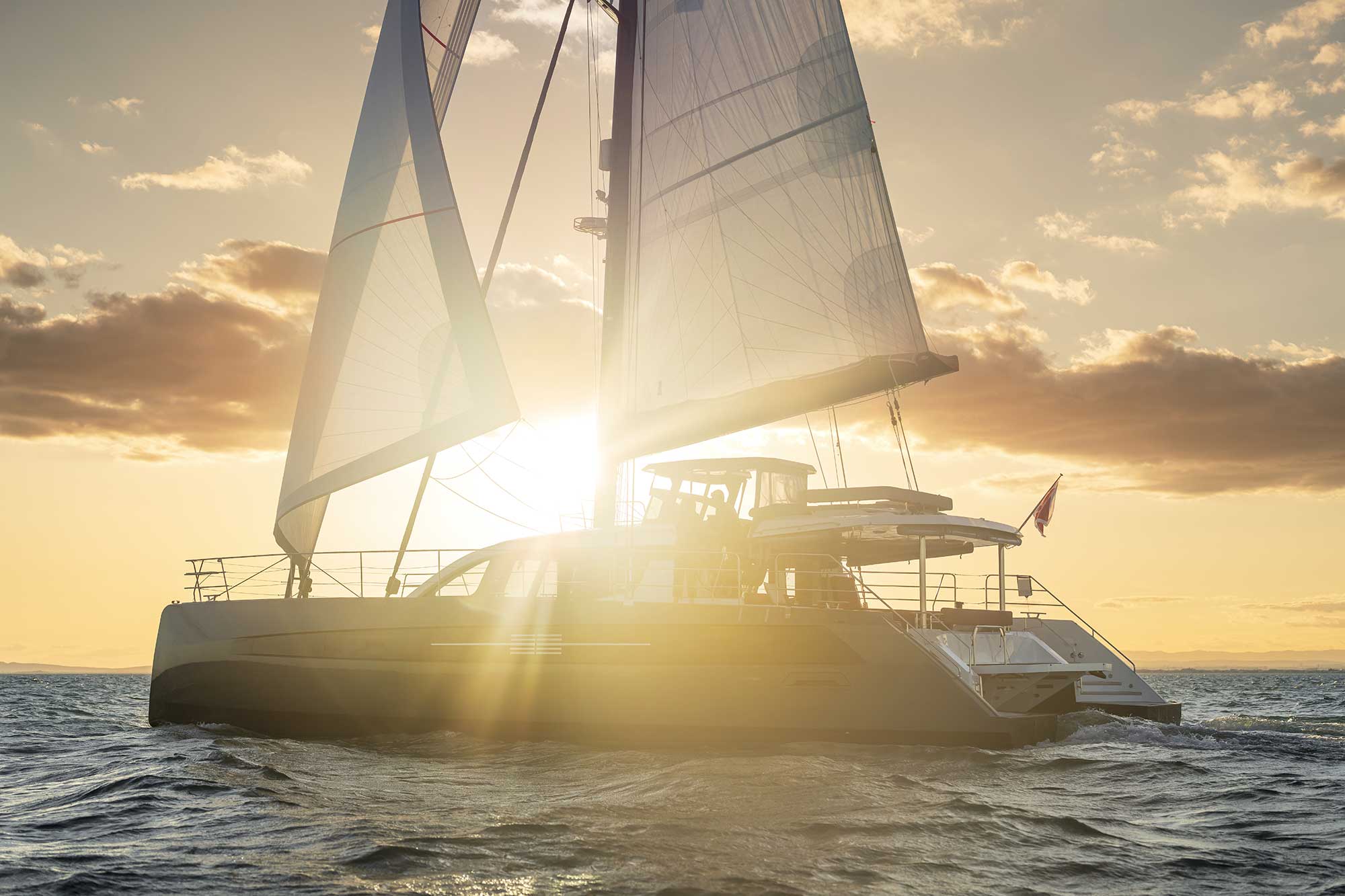
The real ocean is challenging enough
A sailor does not need paranormal explanations to respect this part of the Atlantic. The physical environment already provides a serious test.
The most influential feature is the Gulf Stream. NOAA gives its average speed as approximately 6.4 kilometres per hour (4 miles per hour), with typical maximum surface speeds near 9 kilometres per hour (5.6 miles per hour). For a sailing yacht, that current can materially change course over ground, arrival time and sea state.
The 1,178-kilometre (636-nautical-mile) Newport Bermuda Race has crossed this water since 1906. Its long record is useful evidence. Thousands of yachts have completed the passage safely. The race is nevertheless known as the “Thrash to the Onion Patch” because wind against current can build steep, confused seas.
The Gulf Stream is a routing problem, not a legend
The Gulf Stream is not a fixed blue river. Its axis moves. It develops meanders, warm eddies and cold eddies. A current chart that is several days old may already be misleading.
For a yacht approaching from the United States East Coast, the critical decision is where and at what angle to cross the main stream. A favourable crossing may add speed. A poor crossing may push the yacht sideways for hours.
Strong northerly or north-easterly wind against the north-flowing current can produce short, breaking waves. The danger is not necessarily their absolute height. It is their steepness, frequency and disorganisation. The motion can become violent, while slamming loads increase rapidly.
A large cruising catamaran brings advantages. It offers speed, redundancy, good watchkeeping spaces and a stable living platform. It also has substantial windage and high structural loads. The correct response is not to drive the boat harder. It is to reduce sail early, protect the crew and preserve the systems.
On a Privilège, offshore capability is built around autonomy and redundancy. Twin engines, duplicated critical systems, robust energy management and protected watchkeeping reduce the consequences of a single failure. They do not remove the need for weather routing and disciplined seamanship.
The weather window matters more than the destination
The official Atlantic hurricane season runs from 1 June to 30 November. Historical activity peaks around 10 September, with the busiest period generally extending from mid-August to mid-October. Bermuda can be affected directly or indirectly by tropical systems.
Spring and early summer are popular for passages from the United States. Autumn may suit yachts heading south, but tropical risk remains part of the calculation.
Winter creates a different problem. Strong cold fronts can move rapidly off North America and generate gales, large seas and abrupt wind shifts. Behind a front, the wind can oppose the Gulf Stream and make conditions considerably worse than the wind speed alone would suggest.
The sensible skipper studies the full route, not only the forecast at departure. Satellite communications allow regular updates, but forecast models still diverge. Squall lines can form between forecast points. Equipment can fail.
A safe plan includes sea room, conservative sail choices and the possibility of delaying landfall.
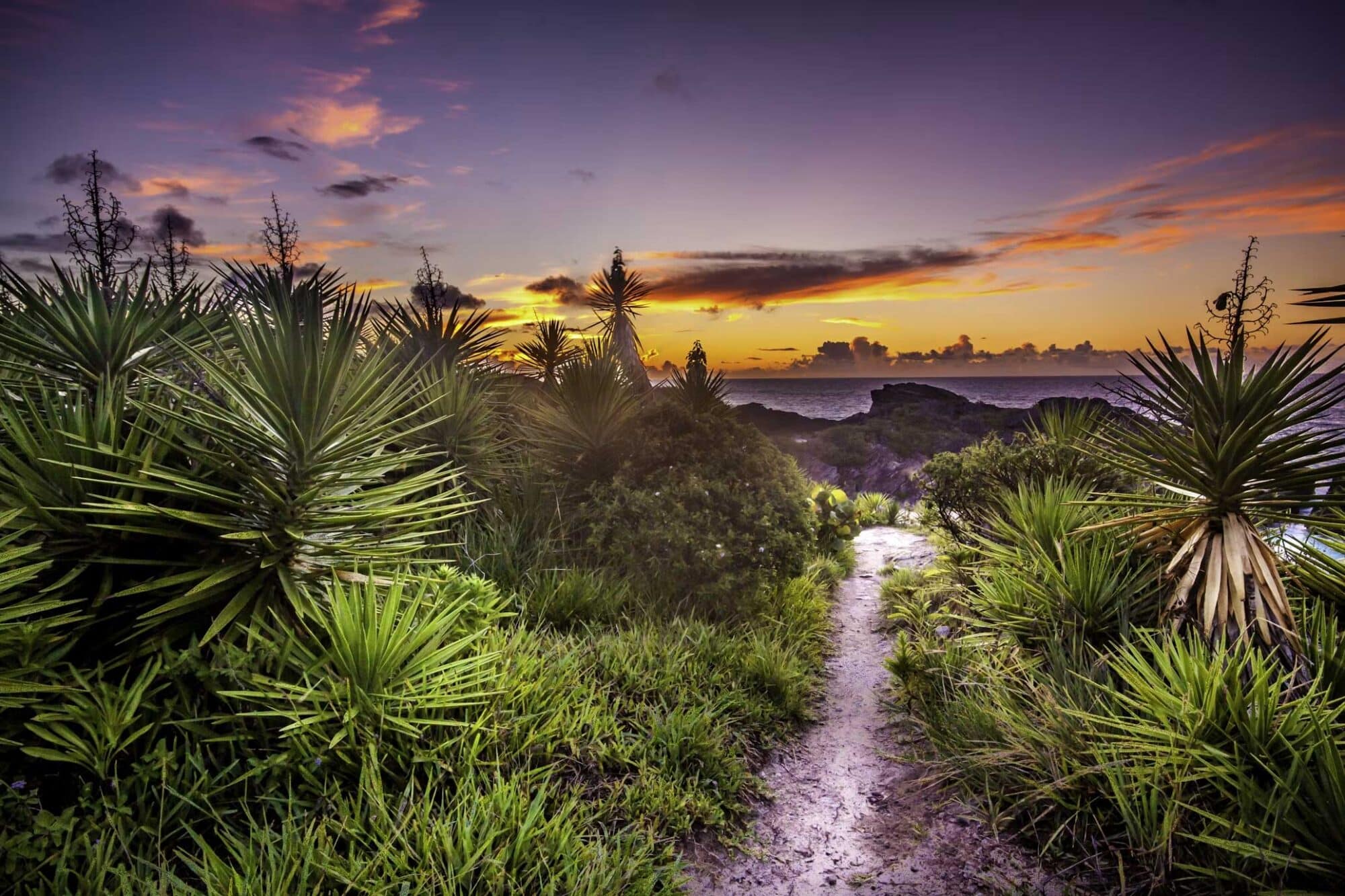
The approach to Bermuda rewards precision
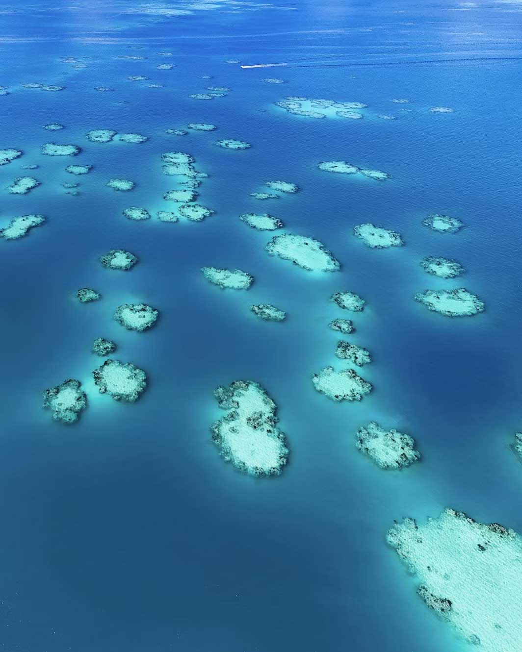
Bermuda’s offshore passage is often less difficult than its final approach. The islands are surrounded by coral reefs. On the northern side, those reefs extend as far as 16 kilometres (10 miles) offshore.
Government guidance warns against pressing into unfamiliar local waters after dark. The Town Cut entrance into St. George’s Harbour is well marked, but darkness, rain or poor visibility remove the visual information that makes reef navigation safer.
A daylight landfall is the professional choice. It allows the crew to identify water colour, breaking reef, buoys, traffic and any discrepancy between charted and observed conditions.
Electronic charts, radar and accurate GNSS positioning are essential, but none should be treated as infallible. Large-scale official charts and current Notices to Mariners remain necessary. The Bermuda Department of Marine and Ports regularly publishes warnings about missing buoys, extinguished lights, diving operations and local traffic restrictions.
Visiting yachts are asked to contact Bermuda Harbour Radio approximately 56 kilometres (30 nautical miles) from the islands on VHF channels 16 or 27. The station provides arrival instructions and directs yachts towards clearance in St. George’s Harbour.
The yellow Q flag should be flown until formalities are completed. The principal yacht reporting and customs facility is at Ordnance Island.
Arrivals between midnight and 08:00 may be directed to Powder Hole. The yacht must remain in the quarantine area until clearance becomes available. Current visitor guidance also requires advance electronic reporting through SailClear.
Formalities are not especially burdensome, but they should be prepared before departure. Passports, vessel documents, insurance records, crew details and health declarations must be readily available.
The large catamaran changes the anchoring equation
Official guidance states that overnight anchoring is generally free, provided the vessel does not obstruct navigation channels or existing moorings. The choice of anchorage still requires judgement.
For a large catamaran, the beam matters more than the draft when selecting a marina. A shallow draught helps in protected waters, but it does not justify crossing poorly surveyed reef areas. The broad beam may eliminate otherwise suitable berths.
High freeboard creates another consideration. A large catamaran presents considerable surface area to the wind. The resulting load on the anchor can rise sharply during a squall, even when the water remains relatively flat.
The skipper should confirm berth width, manoeuvring room, shore-power compatibility and fendering before entering a marina. At anchor, the crew should identify clear sand or mud, avoid coral, calculate swinging room for the full forecast and account for neighbouring monohulls that may swing differently.
The St. George’s Harbour anchorage is the logical first stop
St. George’s Harbour is the most practical arrival base. Powder Hole is sheltered, close to clearance and within dinghy distance of the historic town. It suits a large cruising catamaran better than a rushed attempt to secure a berth immediately after an offshore passage.
The anchor should still be set under load and its position verified. Squalls can funnel across the island, while commercial and recreational traffic moves through the harbour.
For marina comfort, St. George’s Marina and Superyacht Dock offers berthing, provisioning and fuel close to Ordnance Island. Bermuda’s tourism authority states that it can handle yachts up to 100 metres (328 feet).
A large sailing catamaran is comfortably within the marina’s stated length range. Its beam must nevertheless be declared in advance. Length alone does not determine whether a multihull can be accommodated.
The Great Sound gives a catamaran room to breathe
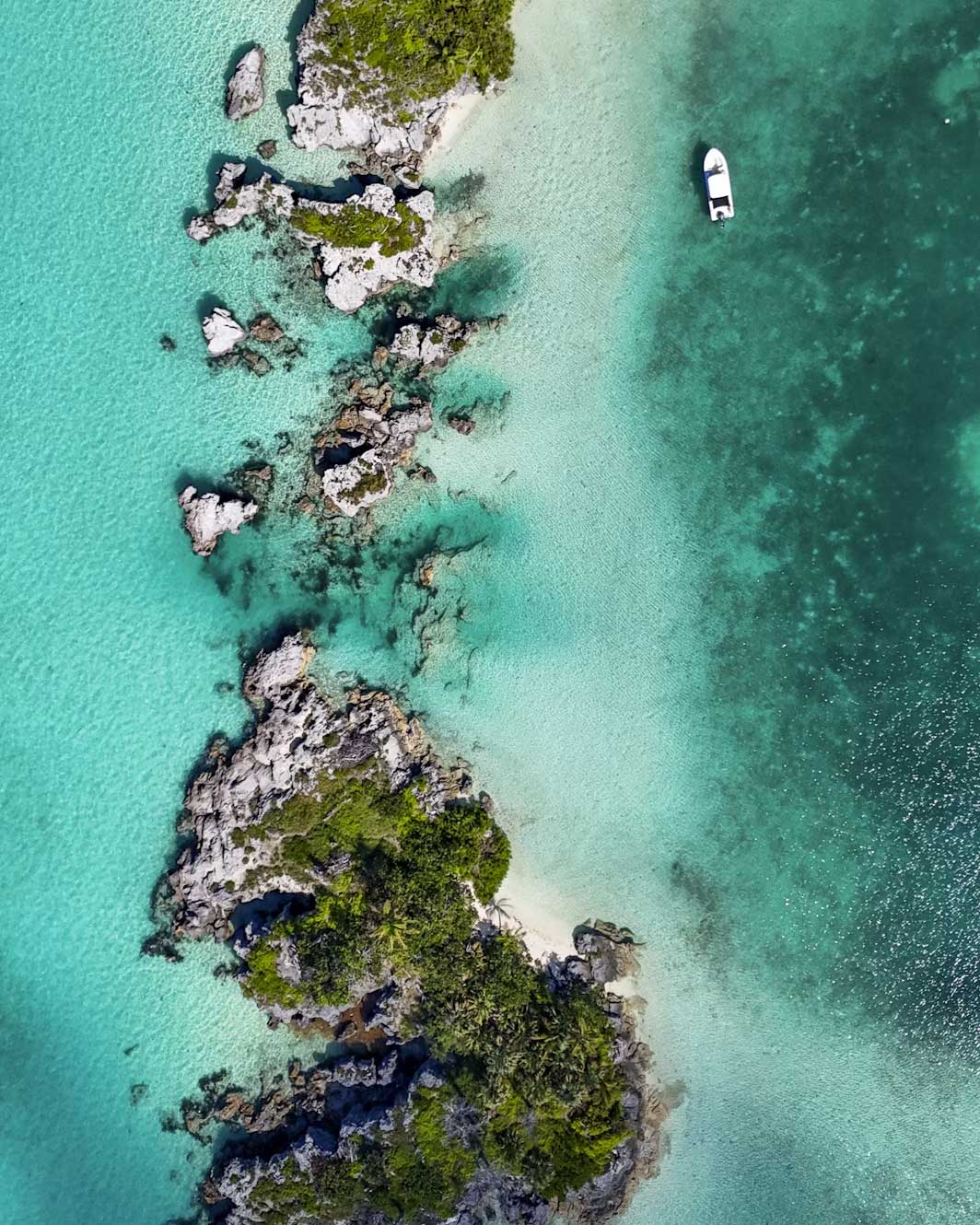
The Great Sound is Bermuda’s best-known large natural harbour. A reef barrier across its entrance reduces Atlantic wave energy. The available space is attractive for a broad-beam catamaran, particularly when the crew wants privacy, water access and sufficient room to swing.
It is also a strong base for the Royal Naval Dockyard and the West End. Pier 41 Marina provides services in Dockyard, while the wider sound offers anchoring opportunities.
Current charts and local guidance remain essential. Reef edges, channels and moorings create a landscape that is visually beautiful but operationally unforgiving.
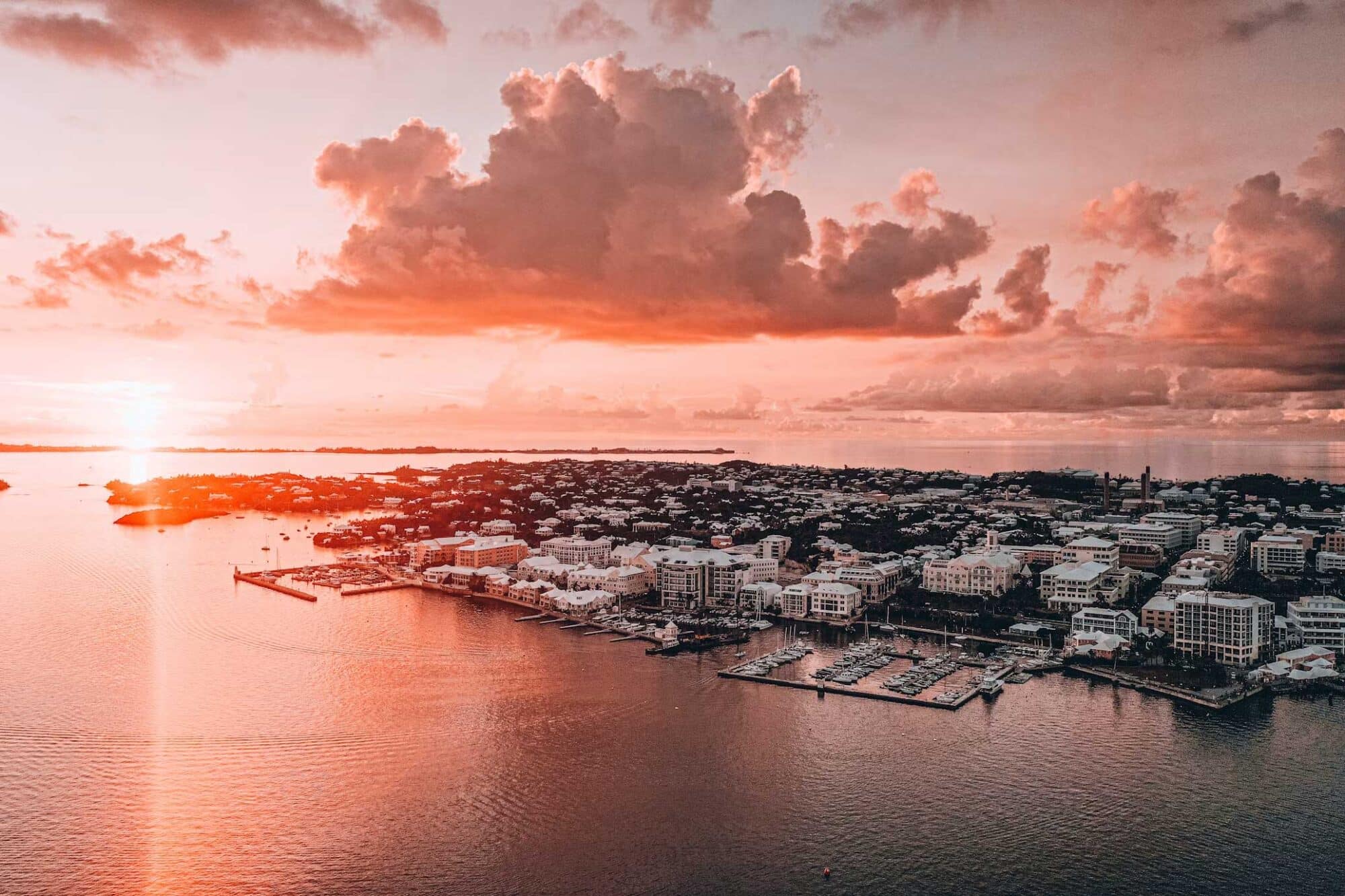
Hamilton Harbour is the urban alternative. It gives immediate access to restaurants, shops, provisioning and the capital. It also brings ferry traffic, wake and less solitude. The Hamilton Princess Marina offers full-service facilities and can accommodate very large yachts. Advance booking is essential for a wide catamaran.
Castle Harbour is the quieter choice. It is scenic, protected and close to Tucker’s Town. It can provide a more private Bermuda sailing experience, but the entrances and surrounding reefs demand careful pilotage.
Mangrove Bay and Somerset are also listed as popular anchoring areas. A very large catamaran should assess access, turning room, bridge restrictions and local traffic before treating them as routine options.
The islands are better than the legend suggests
Bermuda is not merely a technical stop between weather systems. It is a destination with enough character to justify several days.
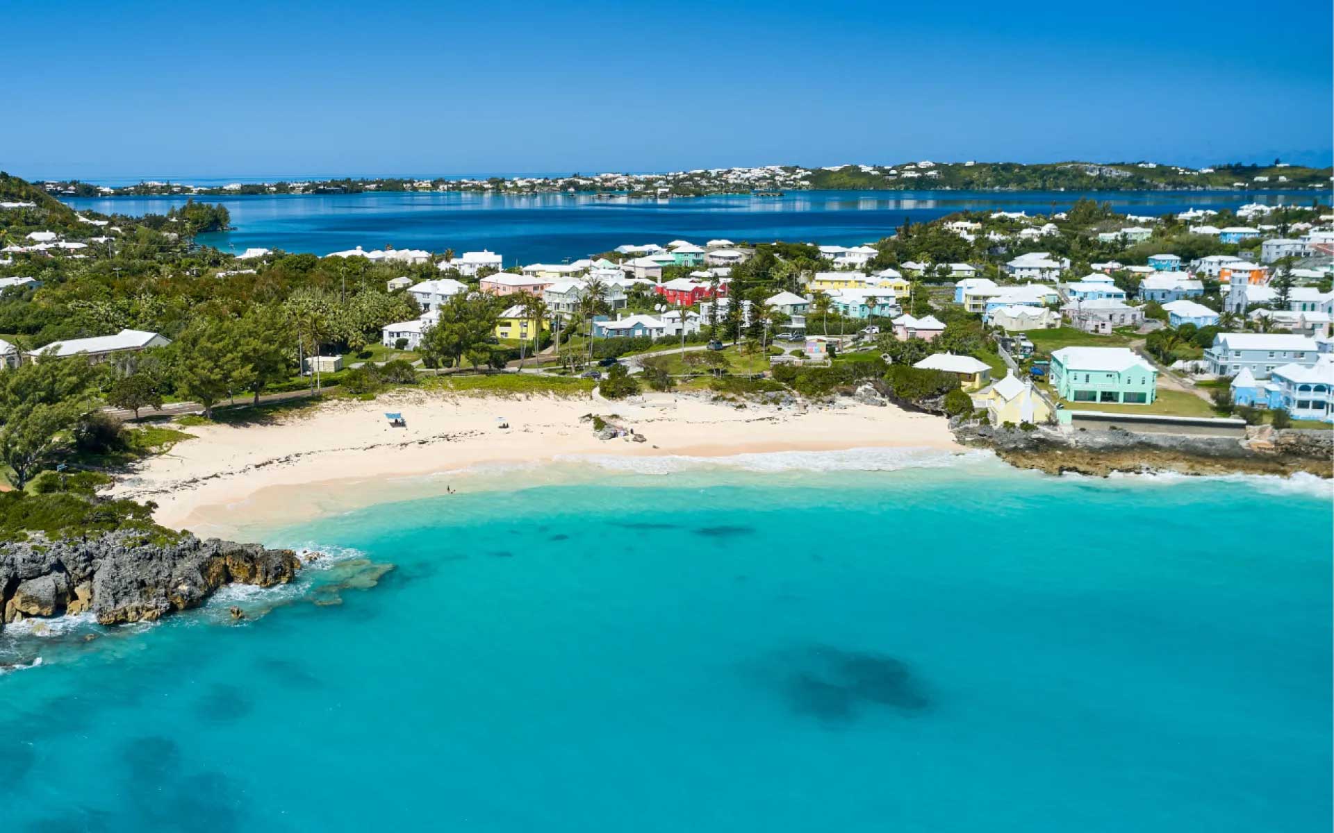
St. George’s is the natural beginning. Founded in 1612, the town and its related fortifications form a UNESCO World Heritage Site. White stepped roofs collect rainwater. Narrow streets lead from King’s Square towards old churches, stone buildings, small museums and waterfront restaurants.
After several days offshore, its scale feels civilised rather than staged. It remains closely connected to the sea. Yachts are not hidden in a distant marina district. They arrive beside the old town.
Hamilton provides the contrast. Front Street is polished and commercial, with pastel façades facing the harbour. The city works well for provisioning, dining and crew logistics. It is not Bermuda’s most intimate place, but it is the most efficient.
The Royal Naval Dockyard carries greater architectural weight. The former military complex now combines the National Museum of Bermuda, workshops, restaurants, shops and marine services. It makes a practical day ashore from the Great Sound.
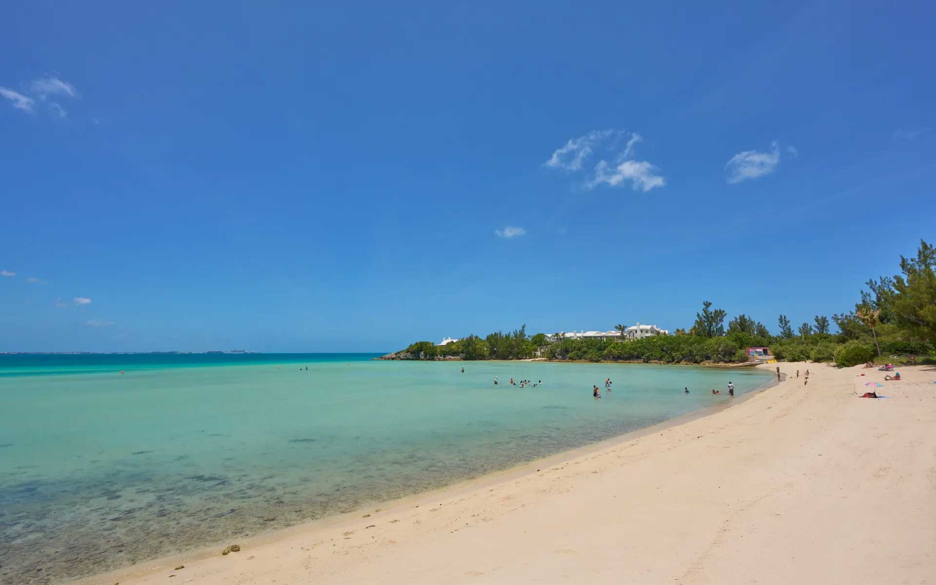
The beaches justify their reputation. Horseshoe Bay has pale pink sand, clear water and limestone formations. It can be busy, particularly when cruise ships are in port. The adjoining South Shore paths lead towards quieter coves and Warwick Long Bay. The better experience is often found beyond the main access point.
Below the water, Bermuda’s wreck history becomes an attraction rather than a warning. Local tourism authorities count more than 300 sunken vessels around the reefs. Diving and snorkelling can combine coral, clear Atlantic water and wreck structure in the same outing.
The Crystal Caves offer limestone chambers and clear underground pools. The former Bermuda Railway route has become a trail linking coastline, woodland and settlements. It is one of the simplest ways to see parts of the island that are invisible from the main roads.
Bermuda is expensive. Provisioning, dining and marina services reflect its remote location and high operating costs. That should be budgeted honestly.
Yet the quality of the stop is high. The island is compact and well served by buses and ferries. A yacht crew can move from harbour to beach or historic site without turning the visit into a logistical exercise.
The myth ends where seamanship begins
Sailing the Bermuda Triangle is not an encounter with a forbidden sea. It is an offshore passage across a busy and meteorologically active part of the North Atlantic.
Its risks are identifiable. They include current, weather, fatigue, navigational error, machinery failure and reef approach.
For a Privilège owner, the correct attitude is straightforward. Use the yacht’s range, stability and redundancy. Do not confuse capability with invulnerability. Cross the Gulf Stream with a current plan. Reef early. Maintain a real watch. Call Bermuda Radio in good time. Make the final approach in daylight. Give the anchor the same attention as the ocean crossing.
Bermuda then changes the tone. The reef that demands caution also creates luminous sheltered water. The harbour used for customs opens directly onto one of the Atlantic’s most historic towns. The supposed centre of a maritime mystery becomes a refined, practical and rewarding cruising destination.
Bermuda rewards prepared sailors, not superstitious ones.